
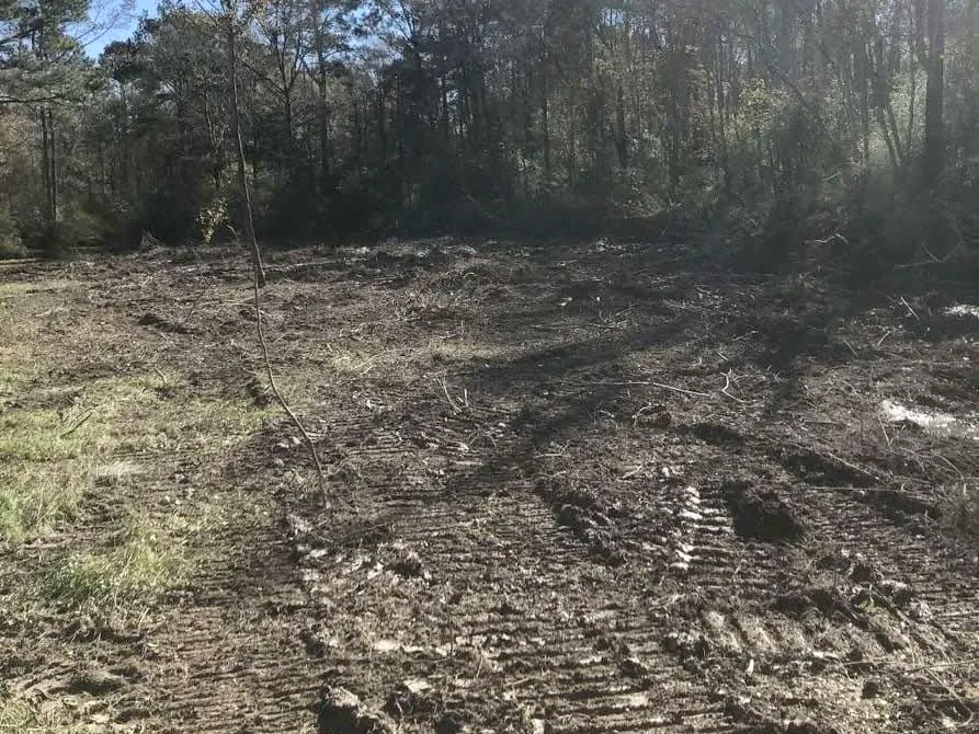
Land Clearing
Overgrown acreage, lots, pasture and cutover opened up with excavators, dozers, a tree shear and root rakes, or mulched in place. The debris goes out on our own trucks.
Learn More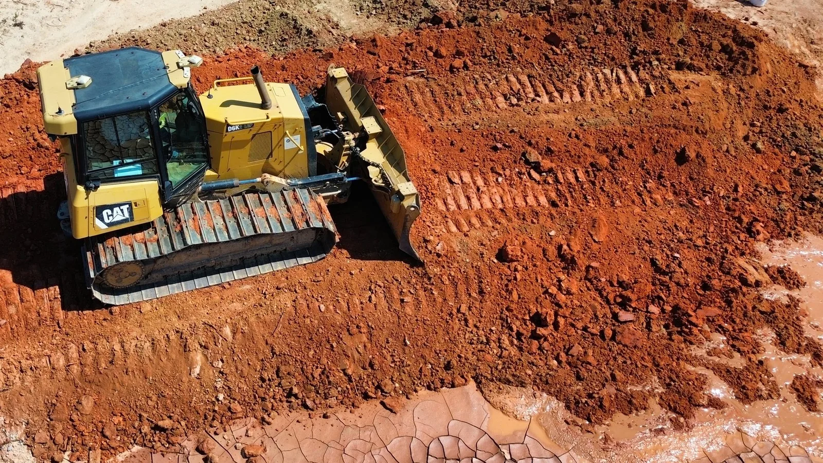
Laurel began as a lumber town in 1882, and pine still covers much of the land around it. Cutover tracts outside town grow back thick in sweetgum and young pine. Old pasture out in the county closes in the same way once the mowing stops. Now you want that ground open again for a house or a new pasture.
Presto Contractors is based in Waynesboro in Wayne County, about 32 road miles east of Laurel on US 84. Land clearing is our main work, and the debris goes off the property on our own trucks. We also handle forestry mulching, site prep, excavation, underground utilities and demolition. Call or text (601) 410-5339 and we will look at the site and put the quote in writing.
Tell us about the land, the lot or the job. We look at the site and put the quote in writing.
Laurel sits in the Pine Belt, and the numbers show it. USDA's 2024 Cropland Data Layer maps about half of Jones County as forest, most of it evergreen. Close to a quarter is grass and pasture. Both kinds of ground close in with brush and saplings when nobody works them.
The NRCS soil survey for Jones County shows what lies under that growth. The most common soil is Smithdale fine sandy loam on 8 to 15 percent slopes. Malbis fine sandy loam and Savannah loam come next, on gentler slopes. In the creek bottoms, Trebloc and Bibb silt loams are poorly drained and frequently flooded.
About one acre in five in that survey is rated for occasional or frequent flooding. Upland ground can be cleared and root raked for a pad or a pasture. In Savannah loam, NRCS notes a water table 1.5 to 3 feet down from January to March. In the bottoms, we plan the work around the weather and the water.
Tallahala Creek drains 238 square miles above its USGS gage at Laurel. National Weather Service storm reports list flash floods in or near Laurel in nearly every year from 2013 to 2025. In December 2018, flash flooding put water in homes in the Glade and Calhoun communities.
Inside the city, Laurel's flood ordinance counts filling, grading, paving and excavating as development. In a mapped flood hazard area, that work needs a development permit before it starts. Where the map shows a base flood elevation, a new house needs its lowest floor one foot above it. The current FEMA flood maps for Laurel and Jones County took effect in November 2021.
So a pad near the creeks starts with the flood map. We raise a house pad with hauled-in fill and shape it to drain.
Laurel's Inspection Department enforces city ordinances on overgrown lots and run-down buildings. The same office issues the city's building permits and demolition permits. Some projects need site plan review or historic approval before a building permit application goes in.
An overgrown city lot may only need a pass with the bush hog. A lot gone to saplings needs clearing, with the debris hauled off on our own trucks. For a burned or storm-damaged house, we take the house down and grade the lot after.
Inside the city limits, water and sewer service comes through the City of Laurel. Out in the county, EPA drinking water records list community systems at Calhoun, Glade, Powers and Sharon, among others. Ask your provider where the tap and meter go, and we can trench the water line from there.
Tornadoes have crossed this part of Jones County more than once. On December 16, 2019, an EF3 tornado touched down at the Hesler-Noble airfield. The weather service traced its path of snapped and uprooted trees through downtown Laurel.
On Easter Sunday 2020, an EF4 tornado crossed US 84 in northwest Jones County and hit Soso. The storm left large swaths of trees snapped and uprooted along MS 29.
Storm-downed timber on a tract is land clearing work. The tree shear and excavators take down what is broken. Where the ground has to be clean, root rakes pull the stumps. Our own trucks haul the debris off the property.
Communities and areas we serve around Laurel: Ellisville, Sandersville, Soso, Moselle, Sharon, Shady Grove, Pendorff, Powers, Glade, Calhoun, Hoy, Tuckers Crossing.
Laurel ZIP codes served: 39440, 39443.
We come over from Waynesboro, look at the site and put the quote in writing.
(601) 410-5339 Overgrown acreage, lots, pasture and cutover opened up with excavators, dozers, a tree shear and root rakes, or mulched in place. The debris goes out on our own trucks.
Learn More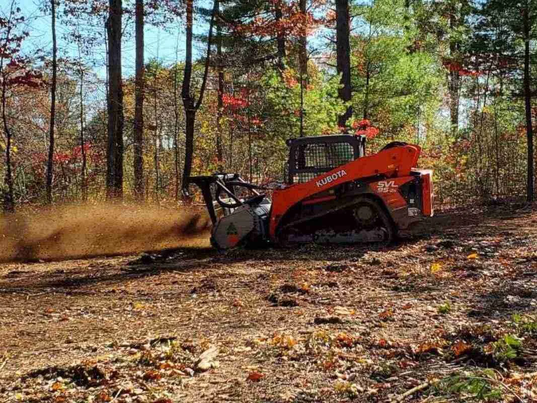
A mulching head grinds brush, saplings and small trees into mulch where they stand. The roots stay in the ground, and the mulch stays on top as cover.
Learn More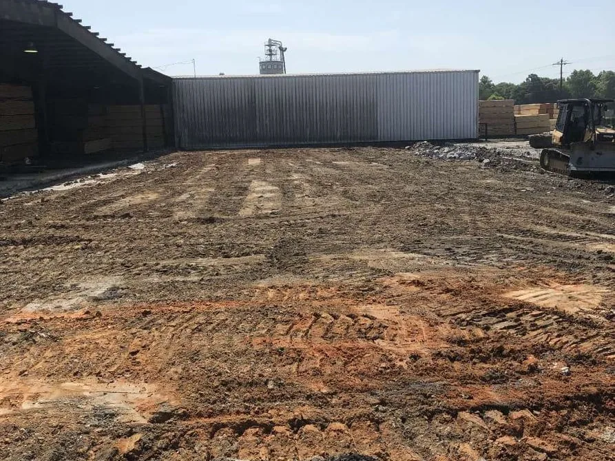
We take a raw lot to a site ready to build, with the pad built up and shaped to drain. Fill dirt and gravel come in on our own trucks.
Learn More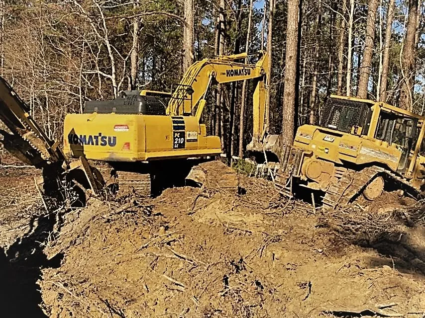
Excavators and dozers for cut and fill, digging, ditches, drainage and grading. Dirt comes in and goes out on our own trucks.
Learn More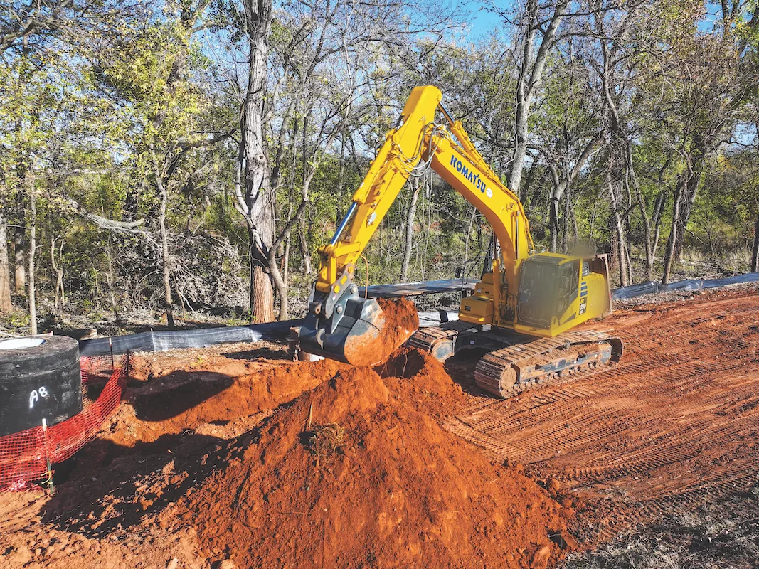
We trench and lay water and sewer lines, storm pipe and culverts for houses and commercial sites. We also cut conduit trenches for your electrician and backfill them.
Learn More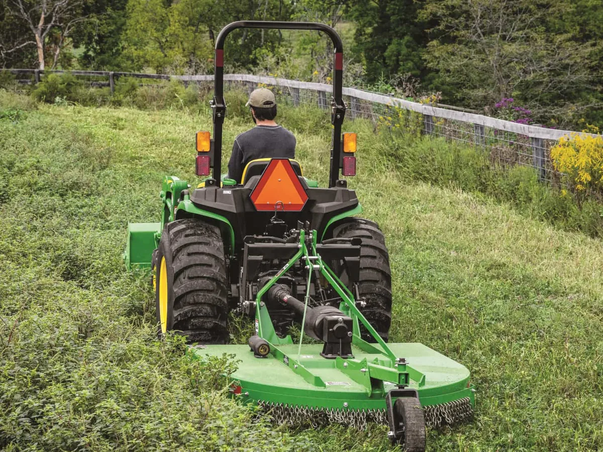
We cut pasture, fields, overgrown lots and fence lines with a bush hog. Choose a one-time cleanup or seasonal mowing, with the quote in writing.
Learn More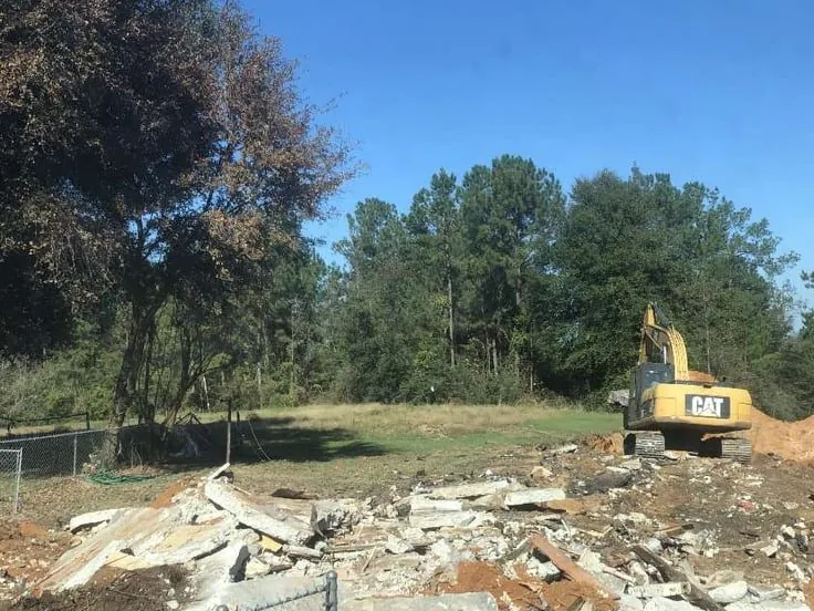
We take down houses, mobile homes, barns and old slabs, and the debris leaves on our own trucks. Then we clear and grade the lot so it is ready for what comes next.
Learn More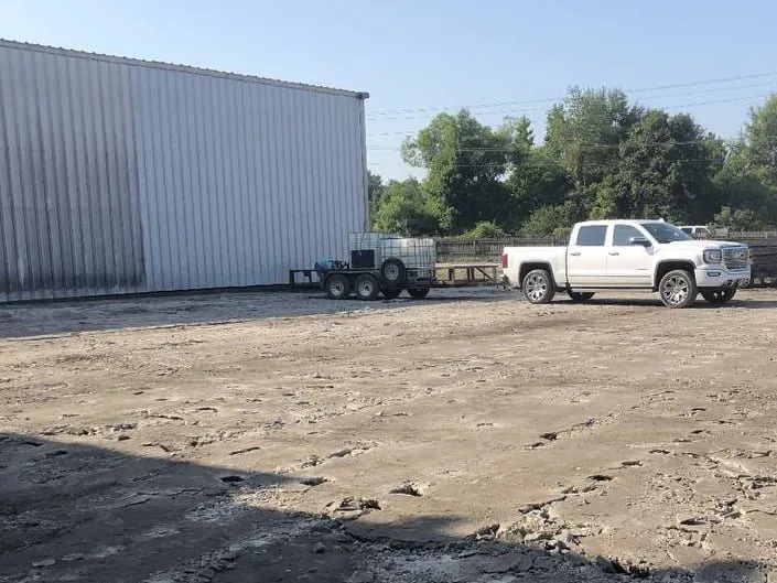
Yard grading, drainage, pads, haul roads and site utilities for industrial plants and commercial sites. Our own trucks haul the rock and dirt on and off the job.
Learn More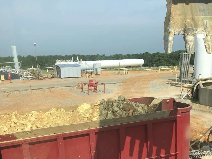
Location pads and lease roads for oil and gas operators in the Wayne County and south Alabama fields. Rock and dirt go on and off location in our own trucks.
Learn MoreA few of the questions we hear most around Laurel. If yours is not here, call or text and ask.
Tell us about the land or the job, and text photos if you have them. Call or text (601) 410-5339 or use the form, and we will get back to you.
Tell us about the land, the lot or the job. We look at the site and put the quote in writing.